REBUILDING & RECONNECTING THE RIPPOWAM RIVER
Perhaps no single river in lower Fairfield County encompasses so much of the variety of challenges and opportunities facing our local rivers as the Rippowam.
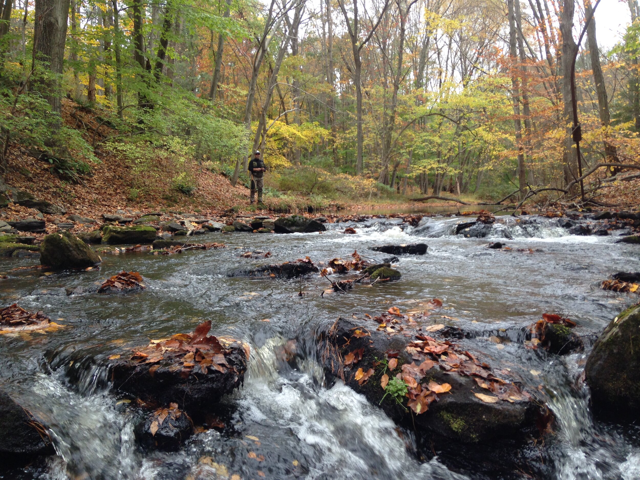
Beginning far north in Westchester County, NY, the entire upper Rippowam watershed is encompassed by large tracts of open space - both water company lands and town, county, state and land trust open space properties and preserves. This network of protected forests and fields surrounding the various tributaries of the Rippowam provide it with an abundant supply of clean and cold water and host a healthy population of native Brook Trout.
After exiting the drinking water reservoir system, however the Rippowam and Mill Rivers merge, flowing through residential communities where they pick up pollutants like road sand, fertilizer, pesticides and more, reducing the water quality and the habitat quality.
South of the Merritt Parkway, the river flows into some of the densest urban development in the region with the significant paved areas adding warm and polluted stormwater runoff, especially during summer thunderstorms.
How TU Will Restore the Rippowam
Our work to restore the Rippowam considers all of the factors in the river’s health and involves a broad mix of strategies including, studying, preserving and protecting the habitat stronghold in the headwaters, improving the riparian buffers through the suburban communities in the mid-sections of the river and developing sophisticated and large-scale stormwater management systems in the urban and industrial waterfront areas.
Join us to help make our community’s local river a healthier home for wildlife and an improved community resource!

The Rippowam River watershed flows from the pristine open woods and fields of Westchester County, NY and through a series of reservoirs before making its way into downtown Stamford and Mill River Park in the heart of the city.
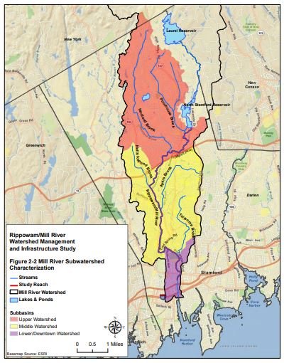
RIPPOWAM RIVER WATERSHED PLAN
Completed in 2011 and 2012, the Rippowam / Mill River Watershed Plan is a guiding document designed to identify the key characteristics and habitat limitations in the watershed and potential solutions to improving water quality.
Replete with research, studies and photos of some of the major impairments, these plans are a critical first step in developing an implementation plan to restore the Rippowam wtaershed.